On 19 May 1587, Davis headed again to the Arctic with three ships: the veritable Sunshine, the Elizabeth, and a little, disassembled pinnace called the Ellen. John Janes sailed along again as Davis’s friend and confidant.
On 14 June, the crew spied the rugged mountains of Greenland covered by a huge glacier, and on 16 June, the vessels anchored in Gilbert Sound. Almost immediately, the local people surrounded them in kayaks, and the Englishmen traded for seal skins.
The parts of the pinnace were taken to a nearby island for assembly while an exploration party roamed the environs. Davis decided that Sunshine and Elisabeth would be dispatched to the fishery to make the trip profitable while he would use the pinnace for exploration.
On the 21st of June, Davis, in the Ellen, departed from Gilbert Sound and proceeded northwards along the coast of Greenland, occasionally bartering with the Inuit in kayaks. He reports that: “On the 25th in the morning at 7 of the clock, we discovered 30 savages rowing after us … they brought us salmon, pearls, birds, and caplin, and we gave them pins, needles, bracelets, nails, knives, bells, looking glasses, and other small trifles, and for a knife, a nail or a bracelet … they would sell their boat, coats, or anything they had, although they were far from the shore. We obtained from them few skins, but they made signs to us that if we would go to the shore, we should have more.” (Markham, 1880, pp. 43 – 44)
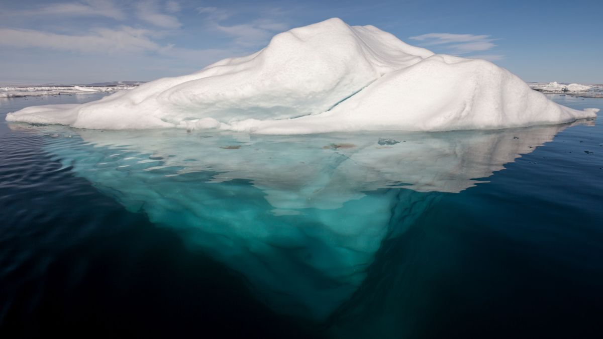
On the 30th Davis was at latitude 72° 12’ N, the furthest north he reached on this voyage. In his book The Life of John Davis, Markham (1889, p. 58) waxes eloquently that: “ A bright blue sea extended to the horizon on the north and west, obstructed by no ice floes, but here and there were a few majestic, icebergs, with snowy peaks shooting up into the sky, floated on the bosom of the deep. Near the horizon, in the far distance, these icebergs, distorted by the refraction, were raised up into the most fantastic and beautiful forms imaginable. To the eastward were the granite mountains of Greenland, and beyond them, the white line of the mightiest glacier in the world, upheld by the mountain buttresses like huge caryatide & rising immediately above the tiny vessel was the beetling wall of Hope Sanderson, with its summit 850 feet above the sea-level. Its surface is slightly broken by a narrow ledge on which hundreds of thousands of guillemots rear their young; and when disturbed, they fly out in dense clouds, and return after circling many times over the water.”
On the 2nd of July, Davis in the Ellen encountered a huge bank of ice, lying north and south, which totally checked her progress. “This was the famous middle pack, a mass of ice drifting towards the Atlantic, and sometimes extending for 200 miles, its average thickness being eight feet.” (Markham, 1889, p. 60).
Coasting along the pack in calm, foggy weather, they observed the western coast of Davis Strait and traded with some Inuit in kayaks. They sighted Mount Raleigh on 19 July, which they had discovered on their first voyage, and soon were at the entrance of Cumberland Gulf. Davis decided to make a second examination of this great gulf and sailed along its northern entrance until he reached a group of islands at the end. Proceeding southward, “they came to a wide opening between 62° and 63° N. latitude, to which Davis gave the name of Lord Lumley’s Inlet; and a headland passed on the 31st was called the Earl of Warwick’s Foreland. The inlet was clearly Frobisher’s Strait, and the land was no other than the Meta Incognita of that navigator.” (Markham, 1889, p. 61)
Next came the discovery of another great seaway, which would be called Hudson’s Strait. Its strong current and ice prevented him from going west, so he headed south along the Labrador coast and entered the Labrador Fjord, which now bears his name (Davis Inlet).
He then fished the Hamilton Inlet, and from there, not finding Sunshine and Elizabeth, he headed home in the tiny, leaky pinnace, stacked with as many fish as it could hold. He arrived safely at Dartmouth on 15 September 1587, having navigated through more than 20° of arctic waters.
Legacy of John Davis
Davis was by no means the first European to explore the Arctic, following in the footsteps of Cabot, Frobisher, and several Portuguese. However, none of these navigators had the scientific expertise of John Davis. He charted long stretches of Greenland, Baffin, and the Labrador coasts and carefully observed ice conditions, terrain, rock formations, weather, vegetation, and animal life. His original logs have been lost, but his discoveries appear in detail on the great maps of the period by Edward White and on the famous Molyneux Globe (1592). He also provided one of the earliest descriptions of the Inuit, which was accurate and much more sympathetic than the other European explorers of the 16th and 17th centuries.
Illustration: An iceberg in the Arctic Ocean. AWeith.
Bibliography:
Markham, C. R. (1889). The life of John Davis, the navigator (1550 – 1605). Discoverer of the Davis Straits. Dodd Mead and Company, New York.
